+256 700 123 456info@geoworldsurveyors.comMon - Fri: 8AM - 6PM
    RICSISO 9001ISUNLS
    Geo World Surveyors
    Home
    Services
    Company
    Resources
    Contact
    1. Home
    2. Portfolio
    Our Work

    Our Project Portfolio

    Explore our portfolio of successful surveying, title processing, and land management projects across Western Uganda. From customary-to-freehold conversions to estate subdivisions, our work speaks for itself.

    Customary-to-Freehold Title Conversion — Fort Portal
    Title Processing

    Customary-to-Freehold Title Conversion — Fort Portal

    Complete title processing for 45 land owners converting customary land to freehold tenure in the Fort Portal area.
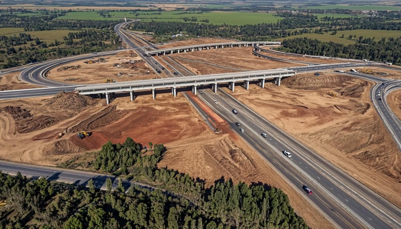
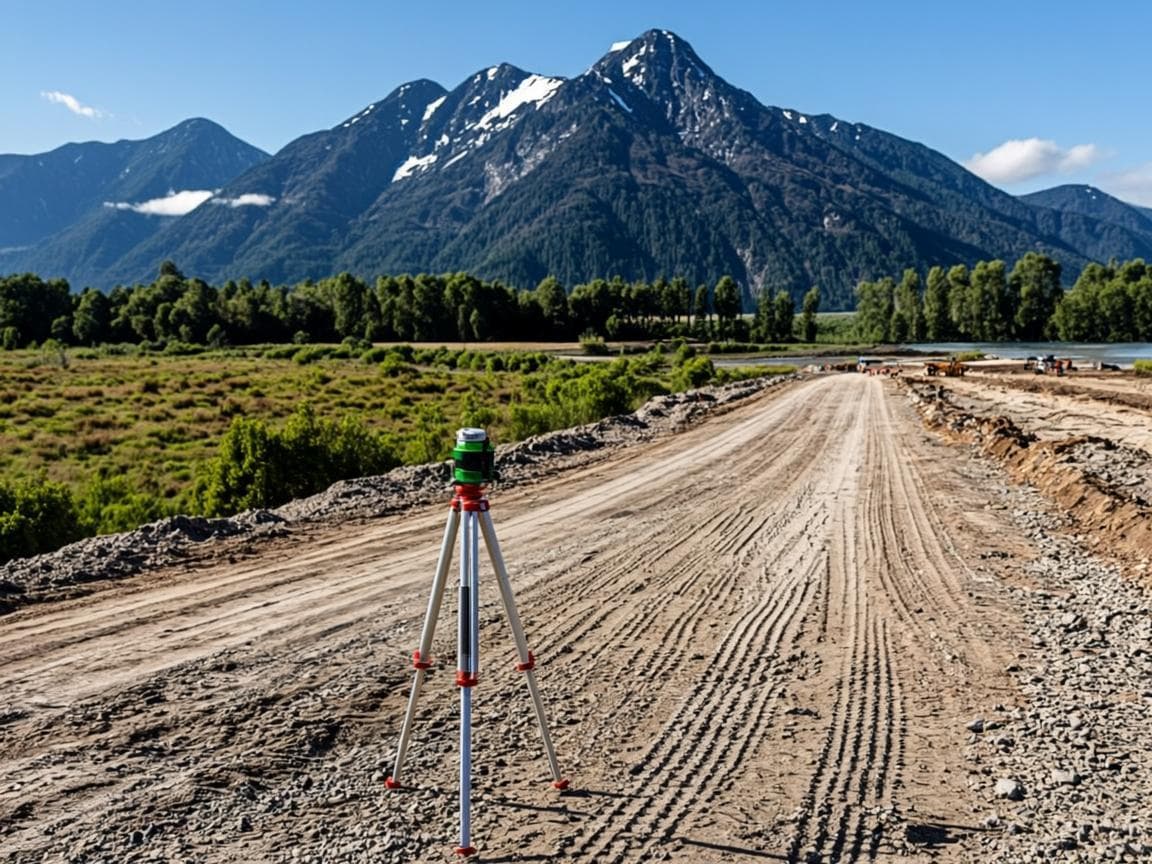
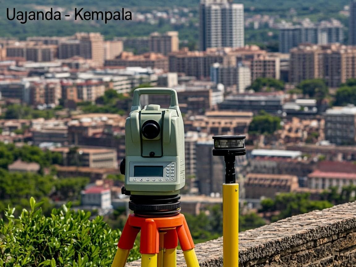
    45 titles processed
    Kabarole District Topographic Survey for Road Planning
    Surveying

    Kabarole District Topographic Survey for Road Planning

    Comprehensive topographic survey for road infrastructure planning across Kabarole District in Western Uganda.

    120 km of terrain mapped
    Estate Subdivision — Family Land in Kabarole
    Subdivision

    Estate Subdivision — Family Land in Kabarole

    Subdivision and demarcation of a 25-acre family estate among 8 beneficiaries with individual title processing.

    8 individual titles issued
    Mailo Land Title Transfer — Central Uganda
    Title Processing

    Mailo Land Title Transfer — Central Uganda

    Complex mailo land title transfer with dual-structure verification for both registered owner and lawful occupants.

    Transfer completed in 6 weeks
    Boundary Opening — Disputed Land in Rwenzori Foothills
    Boundary

    Boundary Opening — Disputed Land in Rwenzori Foothills

    Boundary opening and physical demarcation for disputed land parcels in the Rwenzori foothills area.

    Boundary dispute resolved
    Leasehold Title Processing — Commercial Property Fort Portal
    Title Processing

    Leasehold Title Processing — Commercial Property Fort Portal

    Leasehold title application for a commercial property development in Fort Portal town.
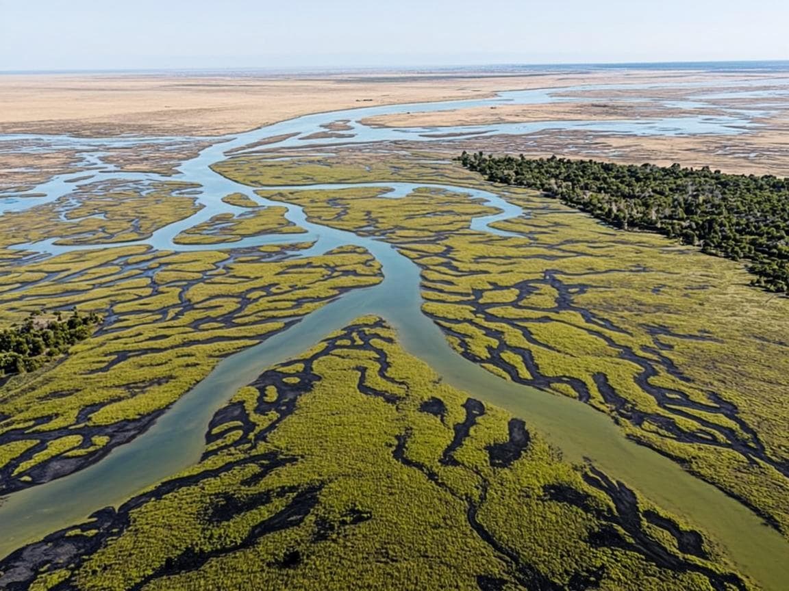
    Leasehold title secured
    Topographic Survey — Wetland Conservation Area
    Surveying

    Topographic Survey — Wetland Conservation Area

    Topographic survey of a wetland conservation area for environmental baseline mapping and protection planning.

    300 hectares mapped
    Residential Subdivision — Fort Portal Municipality
    Subdivision

    Residential Subdivision — Fort Portal Municipality

    Subdivision of a 10-acre residential property into 20 individual plots for a housing development in Fort Portal.

    20 plots created

    Ready to Start Your Project?

    Let our proven track record work for you. Contact us to discuss your surveying, title processing, or real estate needs.

    Stay Updated on Land Matters

    Get expert insights on surveying, title processing, and land governance in Uganda.

    Geo World Surveyors

    Professional land surveying & real estate solutions fostering land ownership and planned development across Uganda.

    +256 700 123 456
    info@geoworldsurveyors.com
    Fort Portal, Western Uganda

    About

    • Our Story
    • Our Team
    • Certifications
    • Careers

    Services

    • Preliminary Surveys
    • Title Processing
    • Title Transactions
    • Cadastral Surveying
    • Topographic Surveying
    • Boundary Opening
    • Subdivision & Demarcation
    • Real Estate

    Resources

    • Blog
    • Case Studies
    • Whitepapers
    • FAQ

    Certifications

    RICS
    ISO 9001
    ISU
    NLS

    © 2026 Geo World Surveyors. All rights reserved.

    Geo World Surveyors