

Professional Surveying & Title Services
From preliminary surveys and title processing to boundary opening and estate demarcation, we deliver comprehensive land surveying and real estate solutions tailored to Uganda's unique land tenure systems and regulatory landscape.

Preliminary Surveys
Professional Service
Preliminary Surveys
Our preliminary survey service provides an initial investigation and assessment of a property or land parcel to gather information and identify potential issues before proceeding with a more detailed survey or development. This is usually done to verify property boundaries, identify potential issues...
Our Process
Reconnaissance / Site Visit
We visit the site to determine the scope: purpose of the survey, which equipment to use, which data to collect, the day and time of execution, and details to indicate on the site plans.
Field Data Collection
Moving along known boundary lines with GPS equipment and picking coordinates on every corner. We identify acreage, land status, physical features, and developments on the land.
Map Production
Construction of site plans and maps to determine acreage, land status, drainage, physical features, and developments. A final preliminary map is produced within 2 days.
Deliverables
Final preliminary survey print layout, fully signed and stamped by the Senior Physical Planner and Surveyor, ready for submission to land authorities.
Technology & Systems
Title Processing
Professional Service
Title Processing
Our title processing service covers the full legal and administrative procedures for registering, transferring, or modifying land ownership rights, ensuring compliance with statutory requirements. We handle all aspects from application form preparation through to title issuance, working with Area La...
Our Process
Application Preparation
Preparation of all required forms (Form 4, 5, 7, 10, 23 as applicable) in triplicate, with applicant details, neighbor signatories, LC1 chairperson verification, and land location information.
ALC & Physical Planning
File proceeds to Area Land Committee for recommendation and report, then to Physical Planning Authority for approval. Notification of approval issued after guidelines are met.
Land Board & MZO
Submission to District/City Land Board for offer grant, then to Ministry Zonal Office for Instructions to Survey, JRJ processing, and deed plan generation.
Title Issuance
After deed plan generation, SSS signing, and cartography completion, the file goes to Lands Management for issuance of a cover letter and ultimately the certificate of title.
Technology & Systems

Title Transactions
Professional Service
Title Transactions
Our title transactions service handles the full range of property ownership changes and registrations in Uganda. Whether you need a title transfer after purchase, inheritance, or gift; a leasehold registration; caveat registration or removal; or mailo land processing, we manage the entire workflow. ...
Our Process
Title Search & Verification
Comprehensive title search at the lands registry, verification of customary rights, and examination of any encumbrances or caveats on the property.
Document Preparation
Preparation of all required documentation including transfer forms, consent forms, sales agreements, inter vivos trusts, or estate inventories depending on transaction type.
Assessment & Payment
Property assessed at market value for stamp duty payment (1.5% of land value for mailo land). URA embossing of transfer forms and all fees receipted through the bank.
Registration & Title
All documents together with the duplicate certificate of title submitted to the Registrar of Titles for approval, stamping, and processing of the new title.
Technology & Systems

Cadastral Surveying
Professional Service
Cadastral Surveying
Our cadastral surveying service defines property boundaries with legal precision for land registration, dispute resolution, and development planning in Uganda. With deep knowledge of Ugandan land law, registry requirements, and the MZO processing workflow, we ensure your property boundaries are accu...
Our Process
Record Research
Thorough examination of existing land records, titles, cadastral prints, plot and block numbers, volume and folio at the Uganda Land Registry.
Field Survey & JRJ
Precise boundary measurement using GPS and total stations. A JRJ (Job Record Jacket) is computed, checked by both the District Senior Staff Surveyor and an RSU supervising the field surveyor.
MZO Processing
The JRJ is submitted to the Ministry of Lands for plotting, cadastral checks (encroachment verification, block verification, road reserves, wetland reserves), and deed plan generation by the cartographer.
Deed Plans & Registration
After SSS signing and physical planner compliance review, deed plans are generated. The file is forwarded to Lands Management for cover letter issuance and title registration.
Technology & Systems
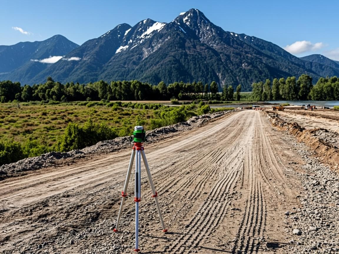
Topographic Surveying
Professional Service
Topographic Surveying
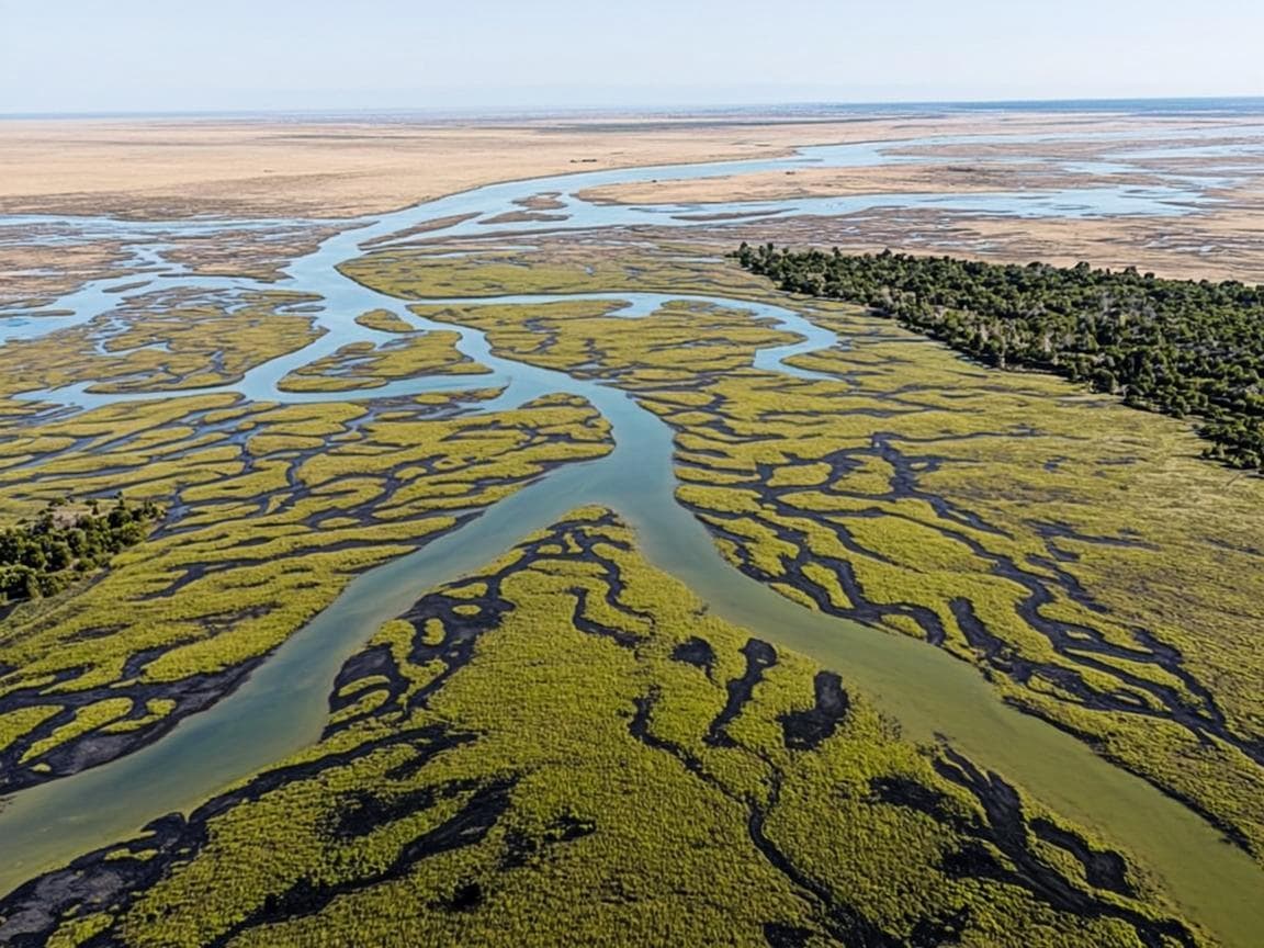
Our topographic surveying service measures and maps the physical and man-made features of the earth's surface with comprehensive detail. We gather data on elevation (height and depth of terrain), relief (shape and features including hills, valleys, and water bodies), and drainage (patterns of water ...
Our Process
Planning & Reconnaissance
Gathering existing maps, identifying zoning regulations, and specifying relevant site information. Defining survey objectives and level of detail required. Initial site visit to assess terrain challenges and determine best equipment.
Control & Data Collection
Establishing control points using GPS as reference markers. Collecting data using specialized equipment — total stations, GPS devices, or drones — to measure distances, angles, and elevations of all features.
Analysis & Processing
Processing collected data to create accurate terrain representation including contour lines and elevation changes. Correcting any anomalies in the data to ensure reliability and consistency with existing data.
Map Production & QA
Developing a detailed topographic map with symbols for various features. Performing accuracy verification checks. Presenting final survey output including report and map for design, planning, and development purposes.
Technology & Systems
Boundary Opening
Professional Service
Boundary Opening
Our boundary opening service is the process of physically marking and defining the boundaries of a titled or mapped parcel of land on the ground. We identify and verify property corners, boundary lines, and other reference points that determine the property's limits. This is critical for property ow...
Our Process
Reconnaissance & Records
Initial site reconnaissance followed by obtaining the cadastral print and all details including plot and block number, volume and folio from the land registry.
Geo-Referencing
The cadastral print is geo-referenced to UTM coordinate data using AutoCAD. System data for the old title is obtained and verified against current ground conditions.
Boundary Map Preparation
A map showing the extent of boundary lines, area, and distances between each point is prepared and printed. Where required, an introductory letter is written to relevant authorities.
Physical Demarcation
On-site physical marking and verification of all boundary points, confirming property corners and boundary lines match the prepared maps and cadastral records.
Technology & Systems

Subdivision & Estate Demarcation
Professional Service
Subdivision & Estate Demarcation
Our subdivision and estate demarcation service handles the process of dividing a large parcel of land into smaller portions — usually among multiple beneficiaries, heirs, or co-owners. The subdivided plots are individually demarcated and separate titles are processed for each. This service is essent...
Our Process
Site Visit & Survey
A mandatory preliminary or boundary opening survey is carried out. Cadastral prints and all details are obtained, and the total acreage of the land is determined.
Distribution Planning
The estate distribution is planned according to the beneficiaries' or owners' requirements. A drawing in AutoCAD is prepared showing the distribution of plots.
Map & Report Preparation
A comprehensive map and report showing the distribution, the areas of each plot, and the names of the beneficiaries is prepared and maps are printed for all parties.
Individual Title Processing
Each subdivided plot is processed for its own title through the MZO, including Instructions to Survey per plot (UGX 10,000 miscellaneous per plot) and deed plan generation.
Technology & Systems
Service Fees Overview
Transparent pricing for our most common services. All transactions and payments should be completed through banks. Contact us for detailed quotes on larger or more complex projects.
Application Fee
UGX 20,000
Standard application fee for title processing
Physical Planning Fee
UGX 20,000
Physical planning approval and assessment
Preliminary Survey (Fort Portal)
UGX 250,000
Per plot within Fort Portal area
Preliminary Survey (Outside)
UGX 300,000
Per plot outside Fort Portal area. Fees vary by size and location
Solutions by Sector
Our services are tailored to meet the specific needs of different sectors across Uganda's land and property landscape.
Land Owners
Helping land owners secure their property rights, resolve boundaries, and obtain legal titles across Uganda's diverse land tenure systems.
Real Estate
Supporting property transactions, subdivisions for development, and due diligence surveys for buyers and sellers in Uganda's real estate market.
Government & Institutions
Partnering with District Land Boards, MZO, and government agencies for compliant land administration, physical planning, and infrastructure development.