
Cadastral Surveying
Our cadastral surveying service defines property boundaries with legal precision for land registration, dispute resolution, and development planning in Uganda. ...

About This Service
Our cadastral surveying service defines property boundaries with legal precision for land registration, dispute resolution, and development planning in Uganda. With deep knowledge of Ugandan land law, registry requirements, and the MZO processing workflow, we ensure your property boundaries are accurately established and legally defensible. Our cadastral surveys include JRJ preparation, checking by both the District Senior Staff Surveyor and RSU, and submission to the Ministry of Lands for plotting and issuance of deed plans.
4
Process Steps
5
Key Benefits
Technology & Systems
How It Works
Our proven 4-step process ensures accuracy, compliance, and quality results for every project.
Record Research
Thorough examination of existing land records, titles, cadastral prints, plot and block numbers, volume and folio at the Uganda Land Registry.
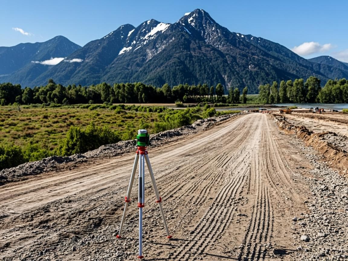
Field Survey & JRJ
Precise boundary measurement using GPS and total stations. A JRJ (Job Record Jacket) is computed, checked by both the District Senior Staff Surveyor and an RSU supervising the field surveyor.
MZO Processing
The JRJ is submitted to the Ministry of Lands for plotting, cadastral checks (encroachment verification, block verification, road reserves, wetland reserves), and deed plan generation by the cartographer.
Deed Plans & Registration
After SSS signing and physical planner compliance review, deed plans are generated. The file is forwarded to Lands Management for cover letter issuance and title registration.
Why Choose This Service
- Legally defensible boundary determination under Ugandan law
- Full MZO workflow compliance — from Instructions to Survey to deed plan
- JRJ preparation with dual verification (SSS + RSU)
- Cadastral checks including encroachment, road reserves, wetland reserves
- Expert testimony support for land disputes
Cadastral Surveying
Professional surveying services you can trust
Service in Action
See how we have applied our cadastral surveying expertise in real projects across Uganda.
Topographic & Cadastral Survey
Kabarole District

Boundary Verification
Rwenzori Foothills
Title Processing Support
Fort Portal
Frequently Asked Questions
Common questions about our cadastral surveying service.
Related Services
Discover our other professional surveying and title services.