
Topographic Surveying
Our topographic surveying service measures and maps the physical and man-made features of the earth's surface with comprehensive detail. We gather data on eleva...
About This Service
Our topographic surveying service measures and maps the physical and man-made features of the earth's surface with comprehensive detail. We gather data on elevation (height and depth of terrain), relief (shape and features including hills, valleys, and water bodies), and drainage (patterns of water flow such as rivers, streams, and lakes). The final product is a topographic map and report that provides a scaled, detailed representation of the area and a detailed study of natural and man-made features — essential for design, planning, and development purposes.
4
Process Steps
5
Key Benefits
Technology & Systems
How It Works
Our proven 4-step process ensures accuracy, compliance, and quality results for every project.
Planning & Reconnaissance
Gathering existing maps, identifying zoning regulations, and specifying relevant site information. Defining survey objectives and level of detail required. Initial site visit to assess terrain challenges and determine best equipment.
Control & Data Collection
Establishing control points using GPS as reference markers. Collecting data using specialized equipment — total stations, GPS devices, or drones — to measure distances, angles, and elevations of all features.
Analysis & Processing
Processing collected data to create accurate terrain representation including contour lines and elevation changes. Correcting any anomalies in the data to ensure reliability and consistency with existing data.
Map Production & QA
Developing a detailed topographic map with symbols for various features. Performing accuracy verification checks. Presenting final survey output including report and map for design, planning, and development purposes.
Why Choose This Service
- Complete terrain feature documentation — elevation, relief, and drainage
- Accurate contour mapping for engineering design purposes
- Integration with engineering design and construction software
- Multiple format delivery for different stakeholders
- Support for environmental assessments and planning applications
Topographic Surveying
Professional surveying services you can trust
Service in Action
See how we have applied our topographic surveying expertise in real projects across Uganda.
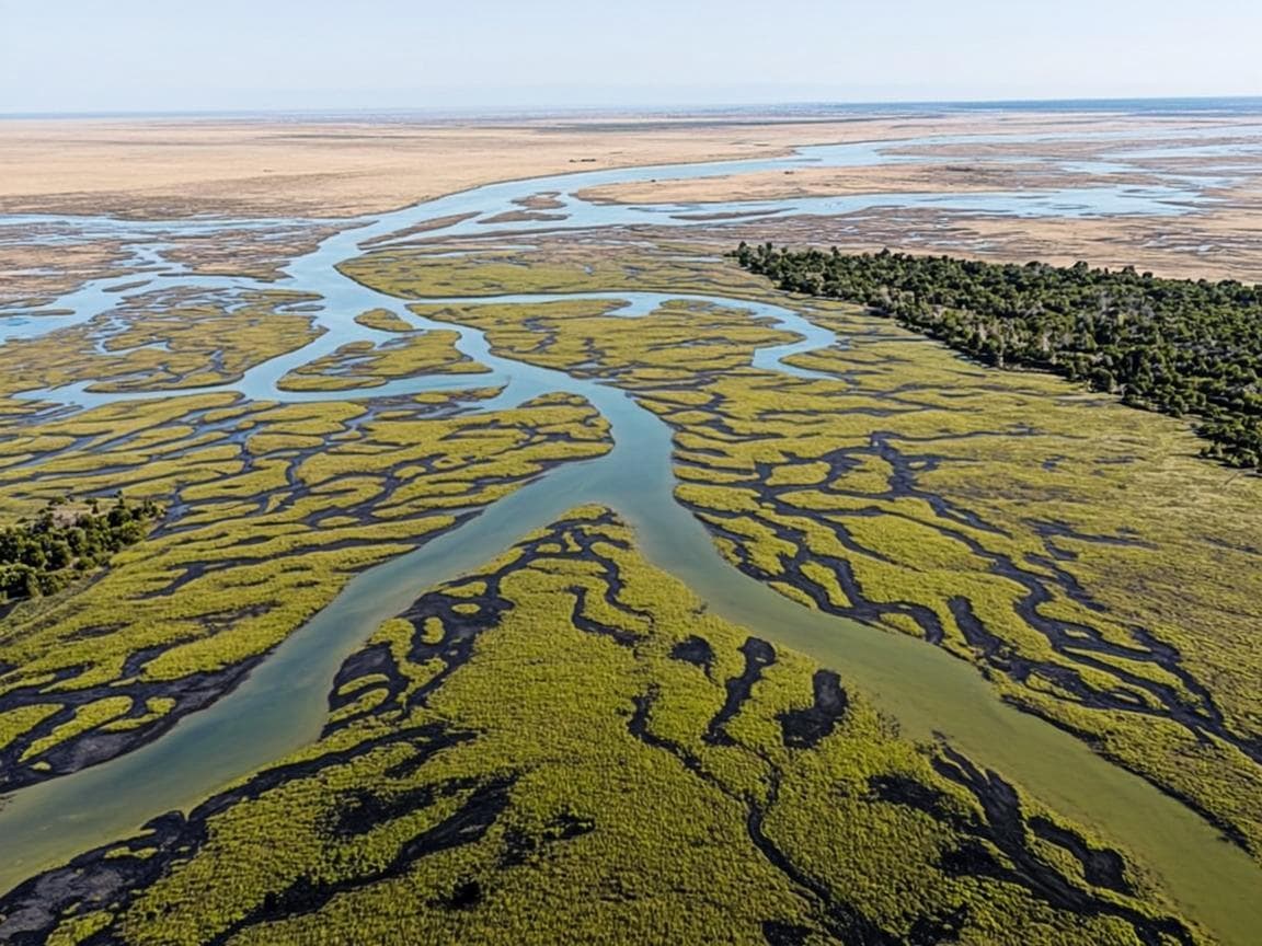
Wetland Conservation Survey
300 Hectares Mapped

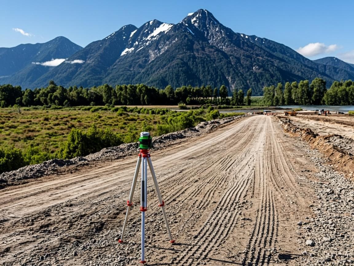
Road Infrastructure Planning
120 km Mapped
Frequently Asked Questions
Common questions about our topographic surveying service.
Related Services
Discover our other professional surveying and title services.